Murray River
The Murray River basin is 10 142 km2. The northern edge boarders Perth (Fremantle), and extends 160m south-east to Williams.
Mean annual rainfall varies between 400mm in the east to 800mm along the coastal areas.
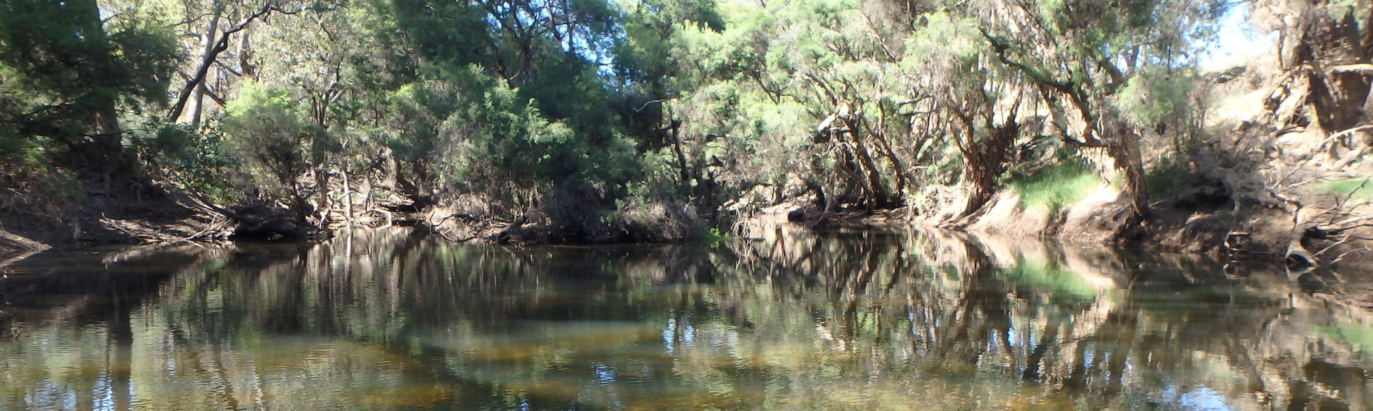
It includes the Murray, Serpentine, Dandalup, Hotham and Williams Rivers and many smaller tributaries. The Murray River is one of the few major rivers near Perth that has no dams used for public water supply. It has two major tributaries, the Hotham River, which starts near Narrogin and the Williams River, that starts between Williams and Narrogin. These are also the two main rivers which drain the eastern wheatbelt. The Murray River flows through vegetated parts of the Darling Range to Pinjarra. Another tributary, the Dandalup River, joins Murray just downstream of Pinjarra. It then flows across the coastal plain between the Darling Scarp to empty into the Peel-Harvey Estuary near Mandurah.
Part of the Peel-Harvey estuary lies within the Murray River Basin. The Ramsar-listed Peel-Harvey estuary is the largest and most diverse estuarine complex in south-western Australia. It forms a key part of the Peel-Yalgorup wetland system – a wetland of international importance under the Ramsar Convention. The wetland system is important for waterbirds and waders, and regularly supports more than 20 000 birds. It also supports the regional fishing economy and is used extensively for recreational purposes, particularly boating, fishing and crabbing. The Peel-Harvey estuary suffered ecological collapse in the 1970s-80s due to nutrient enrichment. This resulted in the engineering solution of the Dawesville Cut in 1994, unfortunately the estuary is again suffering from pressures that threaten the natural values and lifestyle of the region. Six million will be spent to understand and improve the condition of the Peel-Harvey estuary and the Serpentine, Murray and Harvey catchments during the Regional Estuaries Initiative.
There are several dams in the Murray River basin that are part of Perth’s Integrated Water Supply Scheme (IWSS) operated by Water Corporation, the Serpentine and North and South Dandalup dams. They are part of 15 dams built since the 1920s and provide water not only for Perth, but also for areas of the south-west, wheatbelt and goldfields.
Landuse within the basin is very varied, west of the darling scarp on the coastal plain, the majority of the land has been cleared, for intensive and irrigated agriculture, industry and urban use. In the central areas, to the east of the Darling Scarp the catchment is relatively undisturbed with extensive areas of eucalypt forests. In the east, around Boddington, Wandering and Narrogin most of the land is used for grazing and cropping with some small patches of conservation and remnant vegetation.