Blackwood River
The Blackwood river catchment is 22 594 km2. It consists of three sub-catchments, the upper, middle and lower/coastal Blackwood River and extends 300 km inland from the river mouth of the Blackwood River at the Hardy inlet near the town of Augusta. The Blackwood River is the union of two major tributaries; the Arthur and Beaufort rivers.
Average annual rainfall varies from 1100 mm in the west to 400 mm in the east.
The Hardy Inlet is a recreational and tourism draw-card for the town of Augusta, with fishing and boating popular past times. Migratory and resident waterbirds also extensively use the open water and fringing habitats. The estuary has one of largest catchment areas in the south-west corner of Western Australia, receiving freshwater flow from both the Blackwood and the Scott Rivers. For more information about the health of the Hardy Inlet click here
A number of tributaries lead into the lower Blackwood River including Rushy Creek, Chapman Brook, Upper Chapman Brook and McLeod Creek. For a report on the health of these tributaries click here. The lower Basin also has the lower Scott River running through its southern boundary along the coast. Both the Blackwood and the Scott rivers feed into the Hardy inlet. The lower river is influenced by tidal events, receiving estuarine water as far as 42km upstream from the river mouth.
The major tributaries flowing into the middle Blackwood are the Mullalyup Brook, Hester Brook, Gnowergerup Brook, Four Mile Gully, Dinninup Brook and Boyup Brook.
In upper catchment there are chains of naturally occurring salt lakes and wetlands, including Lake Toolibin in the north and the southern chain, running from Dumbleyung to south of Wagin. Due to low annual average rainfall, flat topography these only contribute flow into the lower Blackwood River during extreme rainfall events.
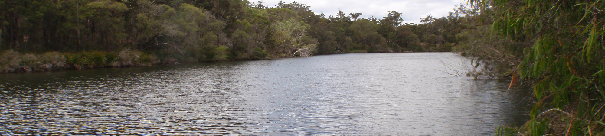
The vegetation is varied, and corresponds to changes in soils, climate and physiography. There is low scrub in the lower catchment near the cost, through to karri and jarrah forests in the lower-middle catchment and mallee and shrubs in the east where rainfall is lower.
Landuse in the catchment is predominately broadacre cereal cropping and sheep grazing, and in the middle and lower catchments there is intensive horticulture, viticulture, dairy and beef farming and also milling for timber. Of the entire Blackwood Basin area, the lower Blackwood sub-catchment has the most vegetation within conservation estate, and the least fragmented, with almost 70% of the lower catchment being State Forest or conservation estate. In the middle catchment approximately 40% of is covered in native vegetation with 26% within State Forest or conservation estate. Outside of these areas, the vegetation is fragmented, occurring as small remnants or along natural waterways and road reserves. Extensive clearing has occurred within the upper Basin for agriculture, as a result only 16% of remnant vegetation remaining, of which only 3% is within conservation estate or Sate Forest. As consequence of land clearing, much of the upper and middle catchment has issues with dryland salinity.