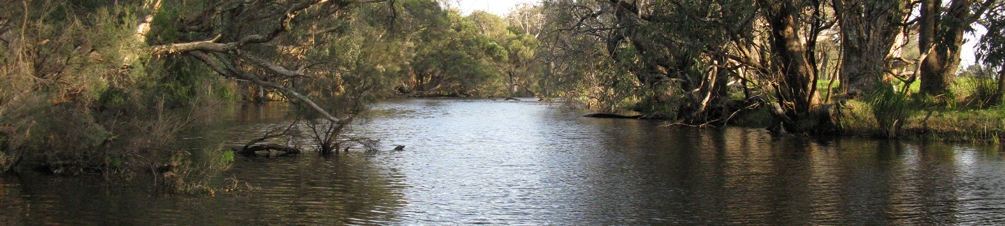
Vasse – Ludlow rivers
The Vasse-Wonnerup river system is part of the broader Geographe Bay catchment, near the Busselton town site in Western Australia. Its major rivers include the Vasse, Sabina, Ludlow, and Abba. The lower section of the Vasse-Wonnerup system is listed under the Ramsar convention (Wetlands of International Importance). This includes the Wonnerup Inlet, the Vasse and Wonnerup estuaries (lagoons) and lower reaches along the Sabina and Abba rivers (WRM 2007). The wetlands provide habitat for more than 30,000 waterbirds (90 different species), and supports the largest regular breeding colony of the Black Swan in WA, as well as many other endemic flora and fauna (WAPC 2005).
The rivers that feed into this Ramsar wetland also have their own ecological and cultural values and (WRM 2007). Historically, most of the rivers flowed into an extensive chain of coastal wetlands attached to the Vasse or Wonnerup estuaries. However, beginning in the 1830s, the natural drainage of the landscape was altered to reduce water logging and flood risk; supporting human settlement.
Specifically, artificial waterways were created to divert most of the flow from the Vasse and Sabina Rivers directly to Geographe Bay. Additionally, floodgates were installed near the mouths of the Vasse and Wonnerup estuaries during the early 1900s to prevent tidal-driven flooding of the surrounding agricultural land with saltwater. These floodgates also maintain fresher water within the upstream river systems for a longer period than would have occurred under natural conditions.
The lower Vasse and Sabina Rivers are still connected to the Vasse-Wonnerup wetlands. Both rivers flow seasonally with most flow occurring from autumn to spring with little to no flow over summer. Weir boards exist in the lower Vasse River (at the Butter Factory) to hold water in this part of the river over summer.
The catchment has a long history of agricultural land use, which began with European settlement in the 1830s. The most widespread land uses include beef cattle and horticulture, with urban residential, industrial and commercial land uses in the lower catchment. Clearing of the natural vegetation, including much of the protective riparian zones of the waterways, as well as increased nutrient and organic load, has been concomitant with land use development.
The health of the riverine ecosystems (riparian and aquatic zone) is of critical important to the health of the Vasse-Geograph estuary and wetland system, and to the Geographe Bay marine park. The combination of clearing of the native vegetation, changes in hydrology and excess input of nutrients has led to several water quality problems. These problems have largely manifested in the lower sections of the rivers, the wetlands and estuaries. Examples of problems include blooms of macro-algae, toxic phytoplankton, nuisance odours, and sudden mass fish deaths (DoW 2010). Without management intervention, these problems are predicted to significantly increase over the next 20 years (DoW 2010).
For more information about the Vasse-Wonnerup Estuary – go here.
REFERENCES:
Western Australian Planning Commission (WAPC) 2005, Busselton wetlands conservation strategy, Perth, Western Australia.
WRM 2007, Ecological Character Description for the Vasse-Wonnerup Wetlands Ramsar Site in South-west Western Australia. Unpublished report to the Department of Environment and Conservation and Geographe Catchment Council Inc. by Wetland Research & Management. September 2007.
Department of Water (DoW) 2010, Vasse-Wonnerup Wetlands and Geographe Bay: Water Quality Improvement Plan, Western Australian Department of Water, Perth, 203 pp.