Hill River
The Hill River lies between the Nambung river system to the south, and the Arrowsmith river to the North. The Hill River flows west for about 85 km from its headwaters near Badgingarra, although sub catchments of tributaries extend for almost 100 km to the north. The river discharges to the Indian Ocean about 10 km south of Jurien Bay. Average annual rainfall is about 545 mm in the southern half of the catchment, falling to about 490 mm further north (east of Eneabba).
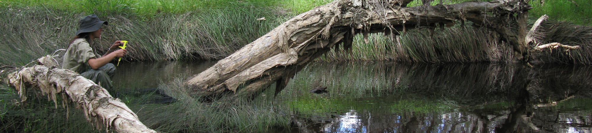
The catchment covers about 3,700 km2 the majority of which is used for agriculture, with grazing and cropping being the dominant land uses although there are many large areas of conservation and minimal land use areas through the catchment including 3 national parks and several nature reserves. There is also a relatively large area of intensive and irrigated agriculture just east of Badgingarra. About halfway along the Hill River (around where Coomallo Creek enters from the north) is a gaining section of river where surface flow is supplemented by groundwater.