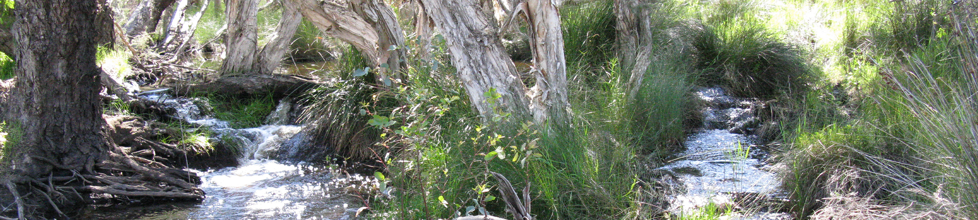
Nambung River
The Nambung River is about 170 km north of Perth. The river system flows from the Dandaragan plateau and terminates a few kilometres inland from Cervantes, draining internally to the limestone dominated geology with no opening to the Indian Ocean. Annual rainfall in the Numbung River catchment doesn’t vary a great amount, being about 600 mm on the coast and about 540 mm further inland.
The catchment covers just under 3,000 km2 and includes three main tributaries. The upper catchment (east) and the Bibby Creek and Mount Jetty Creek tributaries to the north are dominated by agricultural land uses, mostly grazing and cropping. However there are some areas of intensive and irrigated agriculture in the south and east of the catchment, mostly along Minyulo Brook. Land use in the western and southern catchment is predominantly conservation and minimal land uses, including nature reserves and the Nambung National Park (AKA The Pinnacles). A large mineral sand mining operation is located in the eastern portion of this conservation and minimal use area just north of Cataby on Brand Hwy covering about 15 km2 of open mined area and a total mining lease area of nearly 100 km2.