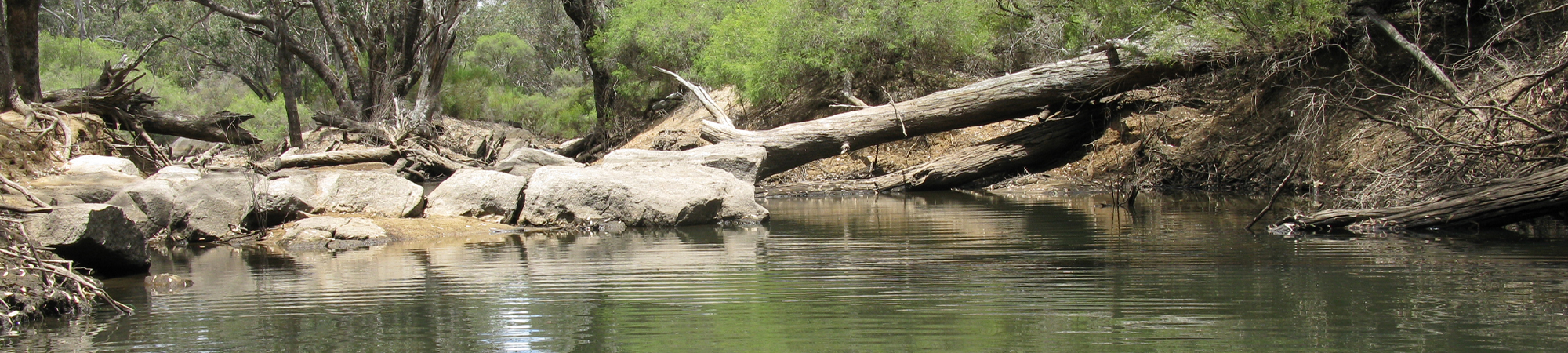
Collie River
The upper Collie River system (upstream of the Wellington Dam) comprises four main tributaries: the Collie River South Branch, Collie River East Branch, Harris River, and the Bingham River. Within this part of the catchment there are two large water storage dams: the Harris Dam on the Harris River, and the Wellington Dam on the Collie River.
Based on land use data from 1996 to 2001[1] (DAFWA 2001), half of the upper Collie River catchment is covered by managed resource uses (primarily State forest[2]), while conservation and other minimal uses cover a third of the catchment. Coal mining and associated power generation (three power stations) covers a small area (around 7 km2) but is a significant land use in the catchment, with the Collie Coal Basin covering 230 km2 and constituting numerous open-cut and underground mines. Agriculture (grazing and cropping) covers around 15% of the upper catchment, mostly on the eastern and southern branches.
Land use in the catchment of the Collie River East Branch (including Bingham River) is similar to the upper Collie River as a whole, with managed resources (State forest) and conservation uses covering three quarters of the catchment. The remaining area is used for agriculture (grazing and cropping), coal mining, plantations (mostly near the river) and urban uses (DAFWA 2001).
The Collie River system is highly seasonal with highest flows occurring over the winter months when rainfall is highest. During summer, in most parts, the upper river system naturally ceases to flow and forms a series of river pools (DoW 2007). The Harris Dam (constructed in 1991) on the Harris River, and the Wellington Dam (constructed in 1933) on the Collie River represent permanent barriers to fish passage and migration (see map). There are also a number of artificial in-stream structures throughout the system that are expected to reduce the ability of fish to move through the system in summer (dependent on water level and water velocity), however the current level of connectivity compared to what is expected under natural conditions is difficult to determine given the long period of augmented river flows in the catchment masking impacts from a drying climate (discussed further below).
The Collie River system has experienced significant modifications to the natural surface water flow regime from land clearing associated with agriculture and mining (predominantly the East and South Branch) and prolonged mining of groundwater (for mine dewatering and abstraction for power generation). This has resulted in dryland salinity, increased water salinity (with the East Branch being the highest contributor), increased volume and decreased duration of flows (compared to fully forested catchments), river channel erosion and sedimentation. Dewatering has induced local and regional groundwater drawdown, altered ground to surface water connectivity including their associated regimes and influenced salt water intrusion within the basin.
The average streamflow in the Collie River system at Mungalup Tower (station 612002) has reduced by 41%, and average annual salinity has increased by 20% for the period 2009 to 2017 compared to the long-term average from 1975 to 2008 (DWER 2018). This is largely attributed to reduced rainfall associated with changing climate, noting that for the period of 2009 to 2017 there were two exceptionally low flow years in 2010 and 2015, which also coincided with the highest average annual salinity concentrations recorded. Further, the effects of the climate-induced declines in flow in the Collie River have been masked by the additional contributions to surface water flows from surplus mine dewater disposal, which have occurred since 2010 (downstream of Duderling Pool) adding an average of 9.9 GL/year to stream flow (DWER, 2018). The mine dewater is also used to supplement Duderling and Buckingham Bridge pools (approximately 1-2 ML/day) on the Collie River East Branch to offset groundwater drawdown from mining as both pools were historically groundwater dependent.
[1] A more recent land use dataset exists from 2006 to 2008 but was not utilised in this report as it had no data for the Collie River East Branch.
[2] ‘State forests’ are areas of forest (native and non-native) managed by the WA government for various uses including timber production, conservation and recreation (EDOWA 2010).
REFERENCES:
DAFWA (Department of Agriculture and Food Western Australia) 2001, Land use in Western Australia version 5, Department of Agriculture and Food Western Australia, South Perth.
DoW (Department of Water) 2007, Managing water in the Upper Collie: A status report on surface and groundwater management, Department of Water, Perth.
DWER (Department of Water and Environmental Regulation) 2018, Upper Collie Water Allocation Plan – Evaluation statement 2009-2017, Department of Water and Environmental Regulation, Perth.
EDOWA (Environmental Defender’s Office of Western Australia Inc.) 2010, State forests and timber reserves, Western Australia search.
Sites
- Brunswick pools
- Brunswick River – Beela Road
- Brunswick River – Big Tree Road Bridge
- Brunswick River – Riverbank Walk
- Brunswick River – Upstream Mornington Road Bridge
- Brunswick River – Upstream of Augustus River
- Chicken Creek
- Collie River – Cardiff Town Pool
- Collie River – Collie River Road
- Collie River – Collie-Preston Road
- Collie River – Coolangatta Farm Gauging Station
- Collie River – Coolangatta Gauging Station Downstream
- Collie River – Coolangatta Gauging Station Upstream
- Collie River – Downstream Mungalup Tower
- Collie River – Downstream Rose Road Gauging Station
- Collie River – Hetherington Road
- Collie River – River Road Bridge
- Collie River – Rose Road
- Collie River – Shentons Elbow 2
- Collie River – Treendale Road
- Collie River – Upstream Minninup Pool
- Collie River – Upstream South Branch
- Collie River – Wellington Dam Wall
- Collie River East Branch – Duderling Pool
- Collie River East Branch – Quinns Road 1
- Collie River East Branch – Quinns Road 2
- Collie River East Branch – Upstream Collie-Williams Road
- Collie River East Branch – US Diversion Site
- Collie River South Branch – Kepwari outlet
- Collie River South Branch – Long Pool
- Collie River South Branch – McAlinden Road
- Harris River – Downstream Harris Dam 1
- Harris River – Downstream Harris Dam 2
- Harris River – Downstream Tallanalla Gauging Station
- Lake Kepwari – Diversion Inlet
- Lake Kepwari – Diversion Outflow
- Lake Kepwari – River Channel
- Wellesley River – Devlin Road