Lennard Brook - Upstream Brand Highway
Basin : Moore-Hill rivers
Catchment : Moore River
The condition of the Lennard Brook - Upstream Brand Highway (site code: MR14QUIN1), in the upper catchment of the Lennard Brook has been assessed in the dry season of 2010/11, 2014/15 , 2015/16 and 2016/17. Additionally, water quality was logged over the 2020/21 dry season (December 2020 to May 2021).
The assessment was conducted using standard methods from the South West Index of River Condition. Primarily measures chosen for this assessment included long-term logging of water quality (dissolved oxygen, temperature, electrical conductivity, and pH) logged every 30 mins over the dry season. In the 2016/17 dry season water quality was only logged over 24h between 28 February and 1 March 2017.
In February, March and April 2011 and in March 2017 the site was also assessed for fish and crayfish, aquatic habitat, vegetation, channel morphology, erosion, connectivity, local land use and flow.
Condition summary
An online condition summary for this site in 2017 has not been prepared. The report for the 2010/11 sampling can be found here.
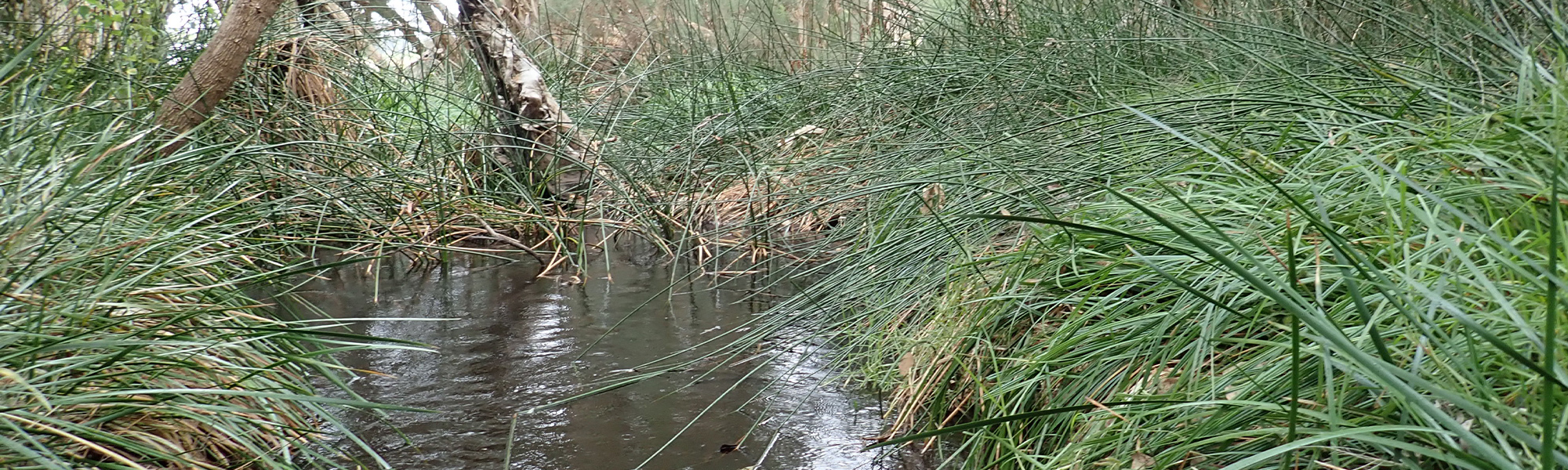
Please contact the Departments River Science team for site information, and see below for links to information on some of the species found at the site, and some images taken in 2017.
Fish and crayfish
Four fish and two crayfish species were found at this site in March 2017. No exotic species were found.
Notably, Tandanus bostocki was collected for the first time at this site in 2017 (90% were in the downstream fyke net i.e. were swimming upstream). The population was relatively high; 22 individuals of varying sizes, which can indicate that this was not a chance capture and that the population is viable and successfully recruiting.
In 2011, five native fish were found. The additional native species (Leptatherina wallacei) recorded were only represented by one individual, in one of the three sampling events, accordingly its absence in 2017 is not considered to be significant.
A list of species collected in 2017 is provided at the bottom of the page, click on the images to learn more about each species.
Note: only fish and crayfish are targeted by sampling methods, however where other species were caught and/or observed they are included below.
Species found in subcatchment


Explore other sites in the catchment
- Fletcher Gully - New Norcia Road
- Gingin Brook - Downstream Cheriton weir
- Gingin Brook - Downstream Mungala Brook
- Gingin Brook - Mortimer Street Gauging Station
- Gingin Brook - Upstream Mungala Brook
- Gingin Brook - Whakea Road
- Lennard Brook - Lennards Road
- Lennard Brook - Lennards Road 3
- Lower Gingin Brook Downstream
- Lower Gingin Brook Upstream
- Moore River - Lancelin Road Bridge
- Moore River - Mogumber West Nature Reserve
- Moore River - Regans Ford
- Moore River - Upstream Bindoon-Moora Road
- Moore River - Waterville Road
- Moore River North Branch - Bindoon Moora Road
- Moore River North Branch - Dandaragan Street
- Moore River North Branch - Molloy Street Moora
- Moore River North Branch - Upstream of Long Pool Bridge Gauging Station
- Red Gully Creek
- Red Gully Creek South