Logue Brook - Logue Brook Dam Road
Basin : Harvey River
Catchment : Harvey River
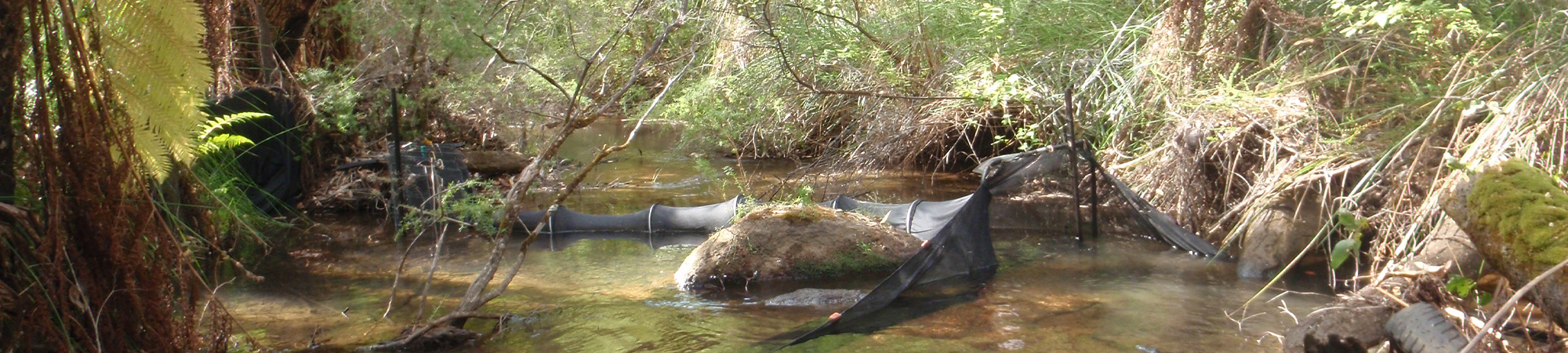
The condition of the Logue Brook - Logue Brook Dam Road site (site code: LOGUE02), in the upper catchment of Logue Brook, was assessed in 2011 between 14 and 15 February, 14 and 15 March, 11 and 12 April and 9 and 10 May 2011. At this time no previous assessments of river ecology had been reported.
The assessment was conducted using standard methods from the South West Index of River Condition. Primarily measures chosen for this assessment included, fish and crayfish, aquatic habitat, water quality (dissolved oxygen, temperature, electrical conductivity, and pH) logged every 10 mins between 14 February and 10 May 2011), fringing vegetation, channel morphology, erosion, connectivity, local land use and flow.
Condition summary
The site was assessed as part an assessment of ecological health and environmental water provisions in the Logue Brook – view report here.
Fish and crayfish
Four fish and one crayfish species were found at this site in 2011 (combination of all sampling events), including three exotic fish and one exotic crayfish.
A list of species is provided at the bottom of the page, click on the images to learn more about each species.
Note: only fish and crayfish are targeted by sampling methods, however where other species were caught and/or observed they are included below.
Species found in subcatchment


Explore other sites in the catchment
- Bancell Brook - Bancell Brook Downstream of weir
- Bancell Brook - Bancell Brook Upstream of weir
- Drakes Brook - Downstream Drakes Brook Dam
- Drakes Brook - Downstream of Dam Wall
- Drakes Brook - Upstream Drakes Brook Dam
- Drakesbrook Drain
- Harvey Main Drain - Bristol Road
- Harvey Main Drain - Bristol Road restoration
- Harvey Main Drain - Johnston Road
- Harvey Main Drain - Riverdale Road
- Harvey River - Clifton Park
- Harvey River - Hanson Road
- Harvey River - Homestead Road
- Harvey River - River Road
- Harvey River - Sunnyvale Gauging Station
- Harvey River - Track Off Dingo Road
- Harvey River - Upstream of Dingo Road Gauging Station
- Harvey River - Upstream of Pig Camp
- Harvey River MD - Riverdale Road restoration
- Logue Brook - Clifton Road
- Logue Brook - South Western Highway
- Logue Brook Drain - Trotter Road
- Mayfield Drain - Old Bunbury Road
- Samson Brook - Downstream Samson Brook Dam 1
- Samson Brook - Downstream Samson Brook Dam 2
- Wokalup Creek - Downstream Wokalup Dam