Albany Coast
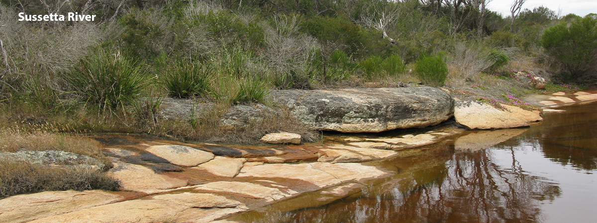
The Albany Coast lies on Western Australia’s south coast and extends from Albany to Bremer Bay. It is 22 989 km2 and has approximately 15 river systems, the largest of which are the Pallinup, Kalgan and Fitzgerald.
Rainfall varies from around 950 mm annually at the western point on the coast to 350 mm along the northern boundary. Cropping constitutes the major land use and there is a large nature conservation area in the south-east, as well as another small area in the central west. Areas of plantation forestry are present in the south-western corner (mostly Tasmanian blue gums). There are no large dams present (though there are many farm dams). Two Wild Rivers catchments (the Saint Mary and Dempster rivers) are present, both in the nature conservation areas in the south-east.
Catchments
- Bitter Water Creek
- Bluff River
- Boondadup River
- Bremer River
- Coastal – Albany
- Copper Mine Creek
- Cordinup River
- Dillon Bay
- Eyre River
- Fitzgerald River
- Five Mile Brook
- Gairdner River
- Goodga-Angove Rivers
- Hamersley River
- Hunter River
- Kalgan River
- Kelly Creek
- King Creek
- Lake Magenta
- Limeburner Creek
- McBrides Creek
- Mullocullop Creek
- Norman River
- Palinup River
- Point Charles Bay
- Princess Royal Harbour
- Quoin Head
- Saint Mary River
- South Warriup Creek
- Twin Bays
- Waychinicup River
- Willyun Creek
- Wongerup Creek