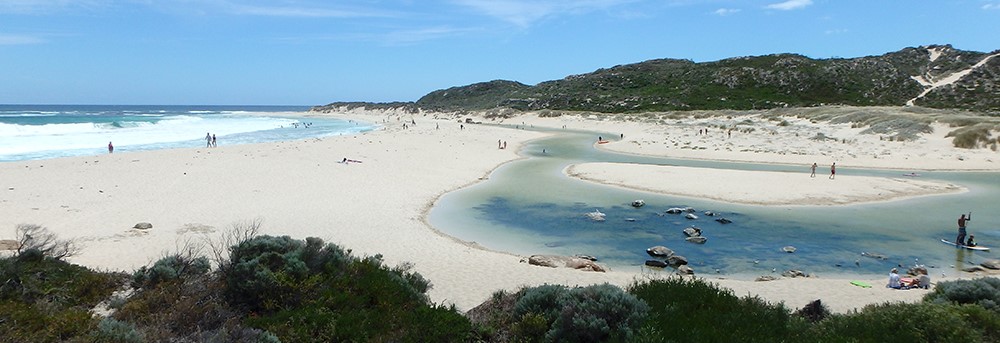
Busselton Coast
The Busselton Coast catchment is 3057 km2 and consists of many short river and creek systems primarily confined to the coastal plain between Bunbury and Augusta. The larger river systems – the Capel, Ludlow, Abba and Sabina – have headwaters in the Darling and Whicher ranges.
Rainfall varies between 800 and 1100 mm annually, with the highest rainfall occurring in the south-western corner.
The natural drainage has been highly modified to drain low-lying areas of the Swan Coastal Plain for agriculture, primarily dairy farming. Five of the river systems have been diverted from the Vasse-Wonnerup estuary to discharge directly to the ocean. A number of creeks along the Leeuwin-Naturalist Ridge, discharging to Geographe Bay, contain near-intact fringing vegetation.