Preston River
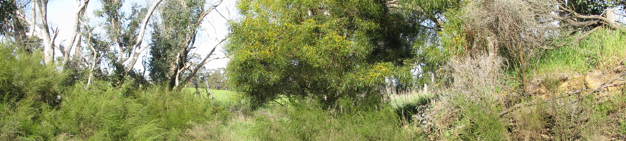
The Preston River catchment is 1135 km2. The headwaters are situated 80 km inland on the Darling Range, with the river then running through the Blackwood Plateau and Swan Coastal Plain. Forested remnant vegetation remains throughout the headwaters, but most of the lower catchment has been cleared.
The hydrology has been altered via river straightening near the Bunbury townsite (to reduce flooding) and a water supply dam (Glen Mervyn Dam above Thomson Brook which is used for irrigation and recreational purposes). Most of the system is fresh, due to low levels of land clearing in the upper catchment, with a trend of decreasing salinity over recent years at Thomson Brook (measurement station 611111) and Preston River (measurement station 611004), potentially due to improved management practices in agricultural areas.
Annual rainfall varies between 750 mm along the western and eastern parts, to around 900 mm in the center (mean annual rainfall 1975–2003).
Summaries of river health at sites across the Preston catchment can be accessed by clicking on the links at the bottom of this page or by using the interactive map provided (if this is available on your device). A regional summary of river health is also available on the Healthy Estuaries WA website.