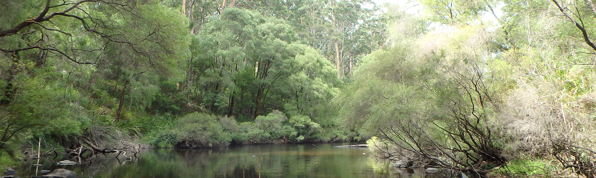
Warren River
The Warren River catchment is 4367 km2 and is situated s about 300 km south-east of Perth. The major tributaries of the upper catchment are the Tone and Perup rivers which rise in farmed land south-west of Kojonup, and join to form the Warren River east of Manjimup. This river then flows through mainly forested areas and discharges into the Southern Ocean south-west of Pemberton. Other tributaries include Yerraminup, and Wilgarup rivers and Lefroy and Dombakup Brooks.
Average annual rainfall ranges from approximately 530 mm at Kojonup to over 1200 mm at Pemberton.
Approximately 70% of the catchment is within Department of Biodiversity and Conservation estate with the remaining area having been cleared for agriculture (horticulture, viticulture, orchards) and a small amount of residential and semi-rural properties.
The Warren and Donnelly rivers are used for agriculture water supply. There are more than 480 on-stream dams distributed across the Warren–Donnelly catchments. These dams are refilled by streamflow which varies significantly from year to year. The department began work on the Warren–Donnelly surface water allocation plan in 2008 after a study indicated that some rivers may be fully allocated or over-allocated. This highlighted that individual licence assessments were no longer enough to manage water use effectively at a subarea level and allocation limits needed to be introduced. For more information click here
The Warren River (above the Barker Road Crossing gauging station) is one of the largest surface water resources in the south-west of Western Australia. While considered a potential future water resource, the water is currently too salty for human consumption. Before clearing, the river water was fresh, about 120–350 mg/L TDS, but by the 1960s was, on average, more than the 500 mg/L limit for potable supplies (Department of Water 2007). In the 1970s, the mean salinity of the river water varied from 875 mg/L at the Barker Road Crossing gauging station (lower catchment) to 6275 mg/L at the Tone River gauging station (upper catchment). In 1996, under the Salinity Action Plan, it was made a recovery catchment with the target to achieve 500 mgL TDS by 2030 (Government of Western Australia 1996).
The 2006 Salinity Situation Statement for the Warren River cited that the average annual salinity (1990–2001) was 895 mg/L and increasing. A 2007 review of this report stated that the average annual salinity of the 1993–2004 period was 1015 mg/L. The current salinity averaging 960 mgL-1 TDS but forecast to reduce to 700 mgL-1 TDS with current land-use (GHD, 2019). For example, plantations established since the 1990s have reduced the cleared area above the Barker Road Crossing from a maximum of 1230 km2 (or 30% of the area) to 960 km2 (or 24%) in 2006.
References
Government of Western Australia 1996, Salinity Action Plan, Perth.