Record Brook - Confluence with Donnelly
Basin : Donnelly River
Catchment : Donnelly River
The condition of the Record Brook - Confluence with Donnelly (site code: DR183RECO1), in the lower catchment of the Record Brook, was assessed between 24 and 25 October 2016 and on the 7 February 2017, over a 100-m length of stream. At this time no previous assessments of river ecology had been reported.
The assessment was conducted using standard methods from the South West Index of River Condition. Measures chosen for this assessment included fish and crayfish, aquatic habitat, water quality (spot measurements of dissolved oxygen, temperature, electrical conductivity, and pH), fringing vegetation, channel morphology, erosion, connectivity, local land use and flow.
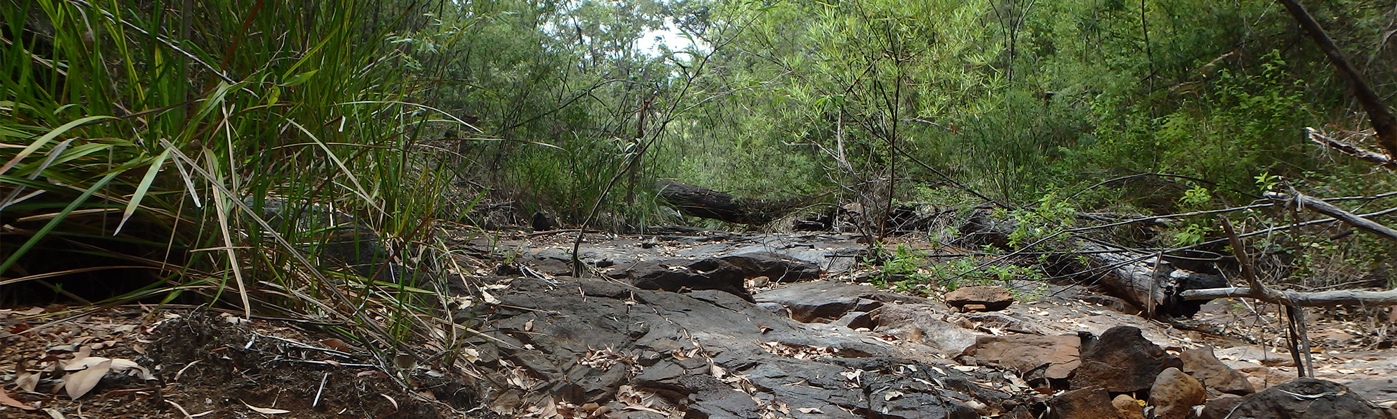
The site was dry in February 2017, fish and crayfish and water quality could not be assessed.
Condition summary
An online condition summary for this site has not been prepared. Please contact the Departments River Science team for site information, and see below for links to information on some of the species found at the site, and some images taken in 2017.
Fish and crayfish
One fish species and two crayfish species were found at this site in 2016. No exotic species were found.
A list of species is provided at the bottom of the page, click on the images to learn more about each species.
Note: only fish and crayfish are targeted by sampling methods, however where other species were caught and/or observed they are included below.
Species found in subcatchment


Explore other sites in the catchment
- Barlee Brook - Blackpoint Road
- Barlee Brook - Pneumonia Road 1
- Barlee Brook - Pneumonia Road 2
- Barlee Brook - Sputnik
- Barlee Brook - Stewart Road Bridge
- Carey Brook - Staircase Road
- Donnelly River - Chappel Bridge
- Donnelly River - Donnelly River Village
- Donnelly River - Downstream Yanmah Brook Confluence
- Donnelly River - Gregory Road
- Donnelly River - Palings Road
- Donnelly River - Scott Road
- Donnelly River - Scott Road Tributary
- Donnelly River - Strickland Gauging Station
- Donnelly River - Upper Donnelly River
- Ephraim Gully
- Ephraim Gully 2
- Ephraim Gully 3
- Ephraim Gully Dam 1
- Ephraim Gully Dam 2
- Ephraim Gully Old
- Ephraim Gully Spill 1
- Ephraim Gully Spill 2
- Fly Brook
- Record Brook - Boundary Road
- Yanmah Brook - Manjimup Brook
- Yanmah Brook - Manjimup Brook - Sears Road
- Yanmah Brook - Manjimup Brook 2
- Yanmah Brook - Manjimup Brook 5
- Yanmah Brook - Manjimup Brook Downstream of Bridge
- Yanmah Brook - Manjimup Brook Upstream of Bridge
- Yanmah Brook - Manjimup Brook: Dam 1
- Yanmah Brook - Manjimup Brook: Dam 2
- Yanmah Brook - Manjimup Brook: Upstream Ephraim Gully