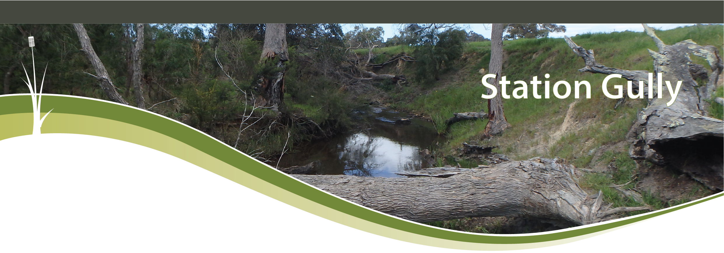
Image

Station Gully

Basin : Busselton Coast

River condition at the Station Gully site (site code: MB16STAT1, site reference: 6104081) on Station Gully has been assessed as part of the Healthy Rivers program using standard methods from the South West Index of River Condition (SWIRC). The SWIRC incorporates field and desktop data from the site and from the broader catchment. Field data collected include the following indicators, assessed over about a 100 m length of stream:

  • Aquatic biota: fish and crayfish community information (abundance of native and exotic species across size classes, general reproductive and physical condition)
  • Water quality: dissolved oxygen, temperature, specific conductivity, and pH (logged in situ over 24 hours), as well as laboratory samples for colour, alkalinity, turbidity and nutrients
  • Aquatic habitat: e.g. water depth, substrate type, presence of woody debris and detritus, type and cover of macrophytes and draping vegetation
  • Physical form: channel morphology, bank slope and shape, bioconnectivity (barriers to migration of aquatic species), erosion and sedimentation
  • Fringing zone: width and length of vegetation cover within the river corridor and lands immediately adjacent, structural intactness of riparian and streamside vegetation
  • Hydrology: measures of flow (velocity) at representative locations (compared against data from stream gauging stations within the system)
  • Local land use: descriptions of local land use types and activities (compared against land use mapping information for the catchment)

The Station Gully site was first assessed under Healthy Rivers in October 2017. The site was not able to be assessed in March 2022 as part of routine assessments across the Busselton Coast region as the site was dry. All known assessments are listed below:

  • 2022 – summer (March 14‒15): Healthy Rivers ‒ dry
  • 2017 – spring (October 9‒10): Healthy Rivers

Other data:
There are currently no monitored gauging stations on Station Gully.

Search the site code or site reference in the Department of Water and Environmental Regulation’s (the department) Water Information Reporting (WIR) system to find data for this site and nearby sampling points (flows, surface water quality, groundwater monitoring, department’s meteorological data). See also the Bureau of Meteorology website for additional meteorological data for the area.

Condition summary

This site is in the lower catchment of the Station Gully, which converges with the Mary and Annie brooks before discharging into Geographe Bay via Station Gully Drain. Before modification, the system discharged directly to the Toby Inlet.

It should be noted that considerable effort is underway to improve health in the system and wider catchment under the Revitalising Geographe Waterways program, run by the multi-agency Vasse Taskforce.

The 2017 condition assessment was carried out within the Noongar season of Kambarang, which is the beginning of longer dry periods, where many of the plants and animals undergo transformations with the change in warmer weather. The site was dry during the Noongar season of Bunuru (March) in 2022, which is generally the driest and hottest part of the year with little to no rain. The below image shows flow during Kambarang (October) in 2017.

A summary of aquatic biota from the 2017 sampling event is provided in the sections below. For other site data please contact the department’s River Science team (please provide the site code and sampling dates).

Species found in subcatchment

This includes all species found within the subcatchment of the assessment site, from this and previous studies in the area. The photos are linked to more information about each species, including maps of where they are expected across the south-west.

Species found at the site

Fish and crayfish

The species captured at the Station Gully site during each of the sampling periods are provided in Table 1. The table includes a list of all species previously reported in the subcatchment, which provides an indication of species that may occur at the assessment site. As differences in habitat within a subcatchment naturally influence species distributions, and variability in methods between sampling programs can affect the species caught, this list is only indicative. Below are some of the notable findings from the assessments.

Four species of fish and one crayfish were found at this site in October 2017. This includes three native freshwater fish (nightfish, western pygmy perch and western minnow), one non-native freshwater fish (eastern gambusia) and one crayfish (gilgie).

Western pygmy perch was the most dominant species in October, comprising 45 per cent of the catch, all within the same size category (20–50 mm). Some individuals were showing nuptial (breeding) colours.

No juveniles were recorded for native freshwater fish species. Further sampling would be needed to determine whether there are recruitment issues in this system.

Two individuals of eastern gambusia were recorded (comprising 1 per cent of the catch): one juvenile and one adult. Native fish have been shown to successfully coexist and outcompete eastern gambusia in natural environments (i.e. good water quality and preferred aquatic habitat).

Gilgies comprised 32 per cent of the catch, with a range of size classes observed including juveniles. The ability for gilgie to burrow to maintain contact with the water table during dry periods explains their dominance at the site compared to permanent water crayfish species such as marron. As was demonstrated in 2022, this section of Station Gully is known to dry during the summer months.

These results demonstrate that the site provides suitable habitat to support life histories of gilgies, as well as seasonal habitat for native fish. The presence of the native freshwater fish species also suggests a permanent-water refuge exists close to the site.

Note: collection of fauna from inland aquatic ecosystems across Western Australia requires a licence from the Department of Primary Industries and Regional Development (DPIRD) and the Department of Biodiversity, Conservation and Attractions (DBCA). All species collected must be reported to these agencies as part of licence conditions.

References and recommended reading

Revitalising Geographe Waterways – RGW (dwer.wa.gov.au)

Vasse Taskforce – RGW (dwer.wa.gov.au)