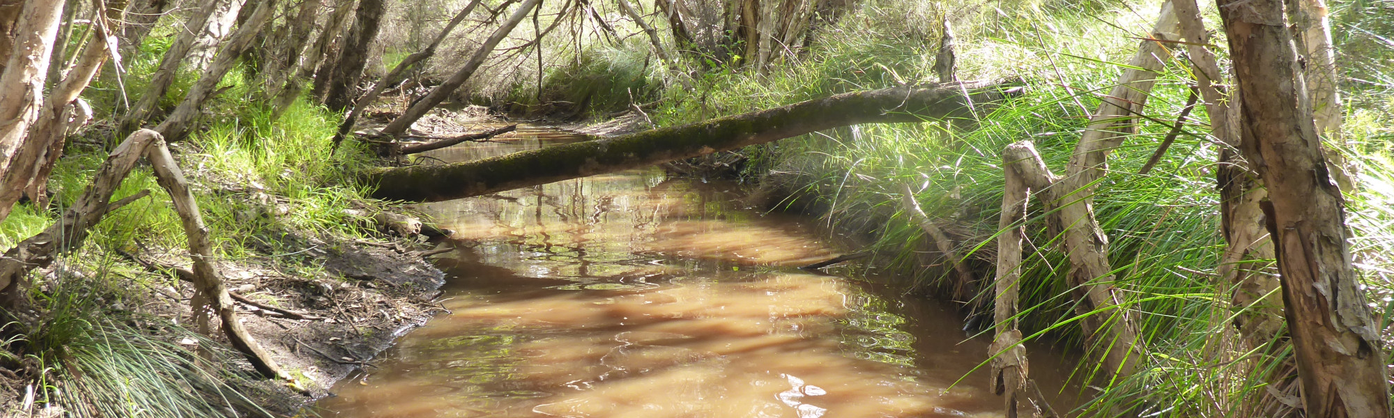
Mullering Brook - Upstream Cooljarloo
Basin : Moore-Hill rivers
Catchment : Nambung River
The condition the Upstream Cooljarloo site (site code: NR40FRED1, site reference: 6170046), on Mullering Brook, was assessed between 25 and 26 October 2021, over a 100-m length of stream. The site was previously assessed between 6 and 7 October 2008 under site code: NR-04/site reference: 6171318.
River condition in 2021 was assessed as part of the Healthy Rivers Program (Healthy Rivers), using standard methods from the South West Index of River Condition (SWIRC). The SWIRC incorporates field and desktop data from the site and from the broader catchment. Field data collected included the following indicators, assessed over about a 100 m length of stream:
- Aquatic biota: fish and crayfish community information (abundance of native and exotic species across size classes, general reproductive and physical condition)
- Water quality: dissolved oxygen, temperature, specific conductivity, and pH (logged in-situ over 24 hours) as well as laboratory samples for colour, alkalinity, turbidity and nutrients
- Aquatic habitat: e.g. water depth, substrate type, presence of woody debris and detritus, type and cover of macrophytes and draping vegetation
- Physical form: channel morphology, bank slope and shape, bioconnectivity (barriers to migration of aquatic species), erosion and sedimentation
- Fringing zone: width and length of vegetation cover within the river corridor and lands immediately adjacent, structural intactness of riparian and streamside vegetation
- Hydrology: measures of flow (velocity) at representative locations (compared against data from stream gauging stations within the system)
- Local land use: descriptions of local land use types and activities (compared against land use mapping information for the catchment)
Search using the site code or site reference in the Department of Water and Environmental Regulation’s Water Information Reporting (WIR) system to find data for this site and nearby sampling points (flow, surface water quality, groundwater monitoring, department’s meteorological data). See also the Bureau of Meteorology website for additional meteorological data for the area.
Condition summary
The site was assessed in 2008 as part of a national assessment of river condition – view report here.
A summary of aquatic biota detected over the different sampling events is provided in the section below. For other site data, please contact the department’s River Science team (please reference the site code and sampling dates).
Species found in subcatchment
Species found at the site
Fish and crayfish
One fish and two crayfish species were found at this site in October 2021, including one exotic crayfish.
A list of species is provided at the bottom of the page, click on the images to learn more about each species.
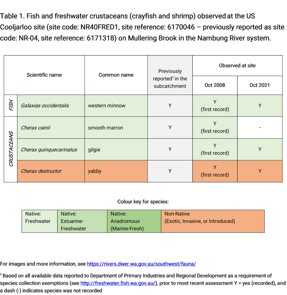
Note: only fish and crayfish are targeted by sampling methods, however where other species were caught and/or observed they are included below.


