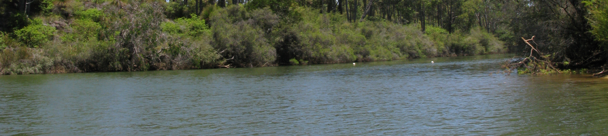
Collie River
The Collie River catchment is 3745 km2 and lies around 200 km south of Perth. It extends approximately 100 km inland with headwaters in the Darling Plateau, which flow into the Wellington Dam before traveling down the Darling Scarp and across the Swan Coastal Plain to discharge into the Leschenault Estuary, immediately north of Bunbury.
Rainfall near the coast is approximately 800 mm annually, increasing to 900 mm over the Darling Scarp and then decreasing again to approximately 550 mm on the eastern boundary (mean annual rainfall 1975–2003).
The Collie River Basin incorporates the Collie River and the major tributary of the Brunswick River in the lower catchment.
More than half of the area remains uncleared, with large areas of forest present east of the Darling Scarp. There are a number of coal mines as well as coal-fired power plants in the upper catchment. Two large dams are present, one on the Collie River (Wellington Dam – irrigation) and one on the Harris River (Harris Dam – potable water) as well as numerous smaller ones. Other hydrological modifications include training of the river around the Collie townsite to reduce flooding and diversions around coal mines.
Many rivers are brackish due to clearing for agriculture and mining, with trend data highlighting increasing salinity in some areas.
Summaries of river health at sites across the Collie catchment can be accessed by clicking on the links at the bottom of this page or by using the interactive map provided (if this is available on your device). A regional summary of river health is also available on the Healthy Estuaries WA website.