Swan-Coastal
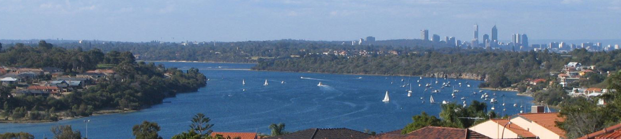
The Swan-Coastal catchment is 8464 km2 and includes the city of Perth.
Mean annual rainfall varies between 500 m in the east to 750 mm in the coastal areas and up to 1100 mm on the darling scarp.
The two major rivers in the Swan-Coastal catchment are the Swan-Avon and the Canning. The Swan River is 72km long and the Canning River is 110km. The Swan and Avon is the same river, the Swan River joins the Avon River at Walyunga National Park and flows from near Wickepin to the Indian Ocean at Fremantle. The combined Swan-Avon River is 280 km long .
The major tributaries of the Swan River include the Helena River, Wooroloo, Susannah, Ellen, Bennett, Henley and Jane brooks, Blackadder Creek, and Bayswater and South Belmont main drains. Tributaries entering the Canning River include the Southern River, Churchman, Munday, Bickley, Yule and Wungong brooks, Mills Street Main Drain and Bannister Creek. The main tributaries to the Avon River include the Yilgarn, Mortlock and Lockhart rivers.
Most of the catchment in coastal areas has been cleared for urban development and industry and grazing/cropping in the east. However, significant areas of conservation and/or managed resources remain in the southern parts of the catchment.
Groundwater and surface water flow into Swan and Canning rivers from tributaries and drains across the Swan Canning Catchment. The management of the surrounding and outer catchments directly influences the water quality in the Swan and Canning rivers. In particular the Swan and Canning rivers and their tributaries are under pressure from high nutrient concentrations that can enter the rivers through activities such as farming and fertiliser use in the catchment.