Moore River - Regans Ford
Basin : Moore-Hill rivers
Catchment : Moore River
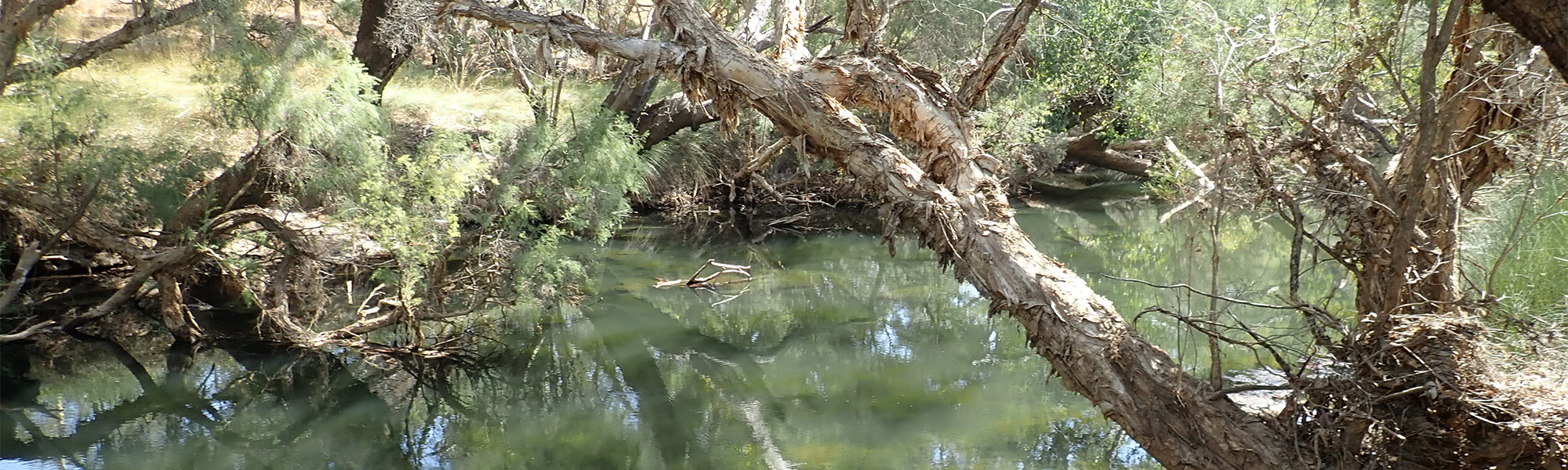
The condition of the Moore River - Regans Ford site (site code: MR81MOOR1) in the middle catchment of the Moore River, was assessed between 25 and 26 February 2019, over a 100-m length of stream. The site was previously assessed between 23 and 24 October 2008 under site code: MR-18.
The assessment was conducted using standard methods from the South West Index of River Condition. Measures chosen for this assessment included fish and crayfish, aquatic habitat, water quality (dissolved oxygen and temperature logged over 24h, and electrical conductivity, pH, colour, alkalinity, turbidity and nutrients), fringing vegetation, channel morphology, erosion, connectivity, local land use and flow.
Condition summary
An online condition summary for the 2019 assessment has not been prepared. Please contact the Departments River Science team for site information, and see below for links to information on some of the species found at the site, and some images taken in February 2019
In 2008 the site was assessed as part of a national assessment of river condition – view report here.
Fish and crayfish
Seven fish, including one exotic species were found in February 2019. No crayfish species were found.
In October 2008, six fish and two crayfish species were found at this site, with no exotics. The species found were blue-spot goby, freshwater cobbler, nightfish, south-western goby, western pygmy perch and western hardyhead, gilgie and smooth marron.
Although exotic fish were found in 2019, but none in 2008, only two individual Eastern gambusia (Gambusia holbrooki) were collected in 2019.
A list of species is provided at the bottom of the page, click on the images to learn more about each species.
Note: only fish and crayfish are targeted by sampling methods, however where other species were caught and/or observed they are included below.
Species found in subcatchment
Native Species
Exotic Species
Other aquatic fauna
The Western long-necked turtle (Chelodina colliei) was onbserved, in 2009, but not in 2019.


Explore other sites in the catchment
- Fletcher Gully - New Norcia Road
- Gingin Brook - Downstream Cheriton weir
- Gingin Brook - Downstream Mungala Brook
- Gingin Brook - Mortimer Street Gauging Station
- Gingin Brook - Upstream Mungala Brook
- Gingin Brook - Whakea Road
- Lennard Brook - Lennards Road
- Lennard Brook - Lennards Road 3
- Lennard Brook - Upstream Brand Highway
- Lower Gingin Brook Downstream
- Lower Gingin Brook Upstream
- Moore River - Lancelin Road Bridge
- Moore River - Mogumber West Nature Reserve
- Moore River - Upstream Bindoon-Moora Road
- Moore River - Waterville Road
- Moore River North Branch - Bindoon Moora Road
- Moore River North Branch - Dandaragan Street
- Moore River North Branch - Molloy Street Moora
- Moore River North Branch - Upstream of Long Pool Bridge Gauging Station
- Red Gully Creek
- Red Gully Creek South